|
|
Post by jmg378s on May 7, 2024 22:16:01 GMT -6
A few thoughts concerning tomorrow
- Potential for storms to form at nose of LLJ in W/SW MO early tomorrow morning may limit the northward advance of the warm front as they move into our area (and we can't rule out the possibility that this just matures into a large sprawling one and done severe MCS either)
- Somewhere along or south of I-70 appears to be the most likely stall position of the warm front
- Dewpoints in the low 70s located in E AR and steep lapse rates over the high plains will advect into our area resulting in ~3000 j/kg CAPE
- Strong W/SW mid-level jet already in place with upstream jet max approaching will yield 50-60kts of deep layer shear easily supporting organized severe storms (including supercells)
- Locale of warm front, completely uncapped warm sector, and diffluent mid-level flow aloft should yield a lot of convection tomorrow
- Storm modes could be messy with clusters, line segments, or discrete cells all possible
- Weakness in anvil-level flow could produce more HP supercell structures for storms that remain discrete
- Helicity may be maximized up near the warm front, but further south high 3km CAPE approaching 200 j/kg and dewpoint depressions < 10 can make up for some lower SRH with regards to tornadogenesis
- If storms persist into the evening LLJ will ramp up enhancing shear and tornadogensis, especially if storms remain or continue to develop discrete
- I would not be surprised to see an SPC moderate risk in the vicinity of the southern 1/3 of our forecast area extending from say Ft. Leonard Wood thru S IL (where I think combination of environment + likelihood/coverage of storms overlap best) - this would be consistent with latest HREF SPC calibrated risk guidance
|
|
|
|
Post by jmg378s on May 7, 2024 17:53:08 GMT -6
Is anyone able to view this morning's radar and tell me if there is any evidence of a spin-up at 38.392406, -90.041064? There was a roof blown off a shed and deposited to the north of its location. Line was in that area around 5am, but I didn't see anything on radar. Sometimes QLCS tornados spin up and down very quickly so it's possible something happened between velocity scans. |
|
|
|
Post by jmg378s on May 7, 2024 17:22:59 GMT -6
I assume you mean Barnsdall OK? Yes the damage looks extreme. We've seen several instances over the years where homes completely swept are only assigned an EF3 rating due to poor construction (e.g. no/improper anchoring) so you never know until the surveyors assess not only the damage, but the construction too. Yes sorry, thanks for pointing it out. Corrected on original post. Tulsa NWS already confirming preliminary EF4. |
|
|
|
Post by jmg378s on May 7, 2024 15:52:43 GMT -6
A big question for tomorrow is not only how far but how fast the warm front lifts north when storms arrive. For those of us along the I-70 corridor it remains to be seen where that ends up, but for our southerners it appears very likely a high STP environment will be in place by early afternoon. And I would not be surprised to see a moderate risk upgrade at some point especially down there extending into southern IL and KY.
|
|
|
|
Post by jmg378s on May 7, 2024 12:33:30 GMT -6
The core of the damage in Bardsville last night looks like EF-4 to me. I'm no surveyor but it is eerily similar to the 2017 Perryville damage with some homes completely leveled and some tree debarking, along with some large trees snapped low. I assume you mean Barnsdall OK? Yes the damage looks extreme. We've seen several instances over the years where homes completely swept are only assigned an EF3 rating due to poor construction (e.g. no/improper anchoring) so you never know until the surveyors assess not only the damage, but the construction too. |
|
|
|
Post by jmg378s on May 6, 2024 21:08:32 GMT -6
New storms forming in SW OK heading into environment with STPs 10+.
|
|
|
|
Post by jmg378s on May 6, 2024 20:46:31 GMT -6
Debris up to 25,000 ft after moving through town.
Edit: 28,000 ft.
|
|
|
|
Post by jmg378s on May 6, 2024 20:39:58 GMT -6
Oh man, that's gonna go right through Barnsdall. Surprised that's not a tornado emergency.
Edit: And there's the emergency...bit late, going through town now.
|
|
|
|
Post by jmg378s on May 6, 2024 20:36:20 GMT -6
That is one curled up supercell with a debris ball in NE OK.
|
|
|
|
Post by jmg378s on May 6, 2024 6:28:21 GMT -6
Per meso discussion a portion of that outlook IS being upgraded to high risk.
|
|
|
|
Post by jmg378s on May 5, 2024 20:58:18 GMT -6
Tuesday morning is looking somewhat concerning too. HRRR holding on to 1500 j/kg of MLCAPE with 300 m2/s2 1km SRH as the QLCS approaches.
|
|
|
|
Post by jmg378s on May 5, 2024 20:51:33 GMT -6
It's the NAM being the NAM, but it looks absolutely diabolical Wednesday.
|
|
|
|
Post by jmg378s on Apr 30, 2024 20:56:50 GMT -6
Our Winters suck no matter what  |
|
|
|
Post by jmg378s on Apr 28, 2024 11:34:18 GMT -6
Excellent outlook by the SPC yesterday.  |
|
|
|
Post by jmg378s on Apr 27, 2024 6:39:58 GMT -6
Hope I'm not jumping the gun, but no deaths reported (yet?) from yesterday is encouraging while also shocking considering the damage pics I've seen.
|
|
|
|
Post by jmg378s on Apr 27, 2024 6:35:19 GMT -6
We all know how hard forecasting can be and sometimes you miss big events, but 100 tornado reports including some huge potentially violent wedges with only an enhanced is a miss.
SPC isn't messing around today though, an uncommon Moderate risk right out of the gate on the initial D1 outlook.
|
|
|
|
Post by jmg378s on Apr 23, 2024 16:46:36 GMT -6
This stretch from Thursday to Sunday looks particularly volatile in terms of severe weather for the middle of the country.
We may get in on the action Friday depending on how unstable the warm sector is this far east. Models are showing convective initiation even in central MO at the nose of the mid level jet with big hodographs to work with. Perhaps a scenario where a supercell can pop up anywhere in the whole warm sector all the way back to the dryline. Again our risk highly dependent on instability (which more often than not is mitigated by lingering storms/clouds for us), but there is some potential there for a more significant event.
And if we make it through Friday unscathed there's Sunday to worry about which also looks pretty gnarly.
|
|
|
|
Post by jmg378s on Apr 22, 2024 19:31:46 GMT -6
Haven't kept up with the forum lately as much as I used to. So just going through some old posts of Sue. She was a very positive person right to the end. Will be missed.
|
|
|
|
Post by jmg378s on Apr 19, 2024 13:22:38 GMT -6
Blanket warnings were absolutely warranted yesterday...there were little spin ups every few miles along nearly the entire line and it's impossible to know when one might intensify between scans. That explains it. I get it now. I thought a few years ago, they were going to ignore small spin ups. It's not listed on that referenced guidance, but the other confidence builder that the warning meteorologists were certainly aware of was that the vertical wind profiler was measuring high storm relative helicity values in the lowest part of the atmosphere (higher even than SPC mesoanalysis was indicating) prior to QLCS arrival. And I will second what BRTN said, sometimes these QLCSs can produce tornadoes very quickly and you may see a debris signature on a new scan in a part of the line that you weren't all that concerned with on the previous scan. |
|
|
|
Post by jmg378s on Apr 18, 2024 16:41:58 GMT -6
Huh? There are active severe T-storm and tornado warnings for metro St. Louis!
|
|
|
|
Post by jmg378s on Apr 18, 2024 15:19:46 GMT -6
KLSX VWP is measuring 0-1km SRH at 214 m2/s2 and 0-1/2km SRH at 152 m2/s2. Those values are rather high and do support tornados so we will have to keep an eye on that as the line approaches the metro.
|
|
|
|
Post by jmg378s on Apr 17, 2024 11:30:43 GMT -6
By the way, Chris posed the question a few days ago about whether the SPC probabilities were helpful or confusing to the general public. And I agree that those probability numbers are likely confusing for the general public and I would add to that that the VAST majority of people have no idea at all what those values actually represent. To make matters worse a mere 13% in those tornado probabilities can be the difference between barely any risk and particularly dangerous situation. I do think the risk categories are helpful though...well...expect maybe the category names could use some tweaking (particularly Enhanced vs. Moderate).
|
|
|
|
Post by jmg378s on Apr 12, 2024 22:23:03 GMT -6
That is a very energetic system passing through on Tuesday with tons of shear and huge hodographs. But there are some big questions about the instability in the warm sector for Tuesday afternoon. Overnight storms and lingering showers/clouds could spoil the atmosphere and with no real influx of legit EML that may put a tamper on the ability of the atmosphere to charge up. As it is right now strong to severe storms look possible if not likely Tuesday or Tuesday night (depending on timing), but hopefully we can avoid a high-end event. Have to keep an eye on this one in the coming days.
|
|
|
|
Post by jmg378s on Apr 8, 2024 19:18:36 GMT -6
Yeah that was incredible! Just some very light cirrus which made absolutely no difference. Perfect viewing. We viewed from a relative's house northeast of Poplar Bluff very close to the center of totality, 4:10 at our location. And yes we could see the flare at the bottom of the eclipse easily.
The drive home was not so spectacular. Typically a 1.75 hour drive was 4.5 hours.
|
|
|
|
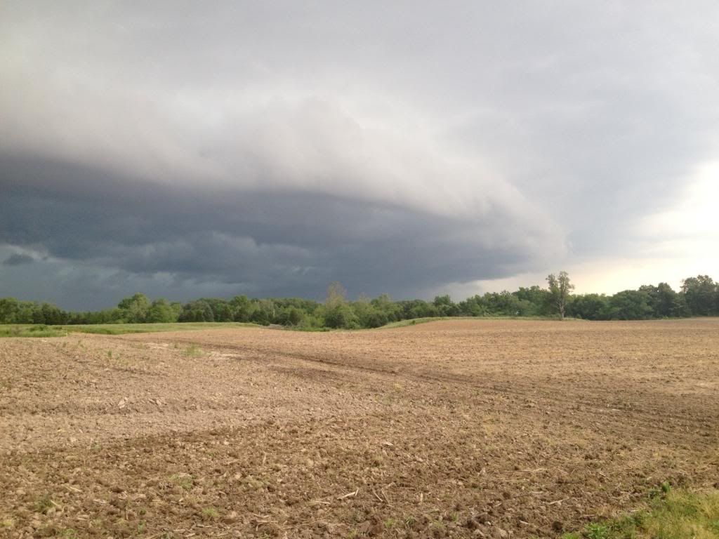
Post by jmg378s on Apr 6, 2024 13:01:47 GMT -6
|
|
|
|
Post by jmg378s on Apr 1, 2024 18:04:54 GMT -6
Just pea size hail in SE St. Pete, but VERY heavy rain.
|
|
|
|
Post by jmg378s on Apr 1, 2024 18:04:19 GMT -6
Looking a past radar scans rotation tightened up quickly near 141 just north of 40 and appeared to produce a corresponding CC drop.
|
|
|
|
Post by jmg378s on Mar 27, 2024 20:00:27 GMT -6
I was thinking, the most epic photo ever would be someone capturing the total solar eclipse in the same scene as a distant mothership supercell (bonus would be a tornado). Plot twist tornado dies because of the eclipse destroying heating and cape Stupid eclipse |
|
|
|
Post by jmg378s on Mar 27, 2024 16:33:49 GMT -6
I was thinking, the most epic photo ever would be someone capturing the total solar eclipse in the same scene as a distant mothership supercell (bonus would be a tornado).
|
|
|
|
Post by jmg378s on Mar 27, 2024 16:28:22 GMT -6
At 12 days we are a bit beyond the skill of even ensembles to say much about Eclipse Day around here, but right now the EPS and GEFS are showing our area near the inflection point of lower 500mb height anomalies upstream and higher height anomalies downstream. This generally would imply some storminess or a wetter pattern to content with during that period. But it may not pan out that way at all and even if it does that doesn't necessarily mean we are socked in with rain and/or low/mid stratus all day. On the hand even if a dry pattern pans out fair weather cumulous or even just cirrus could be a real buzz kill...
|
|